
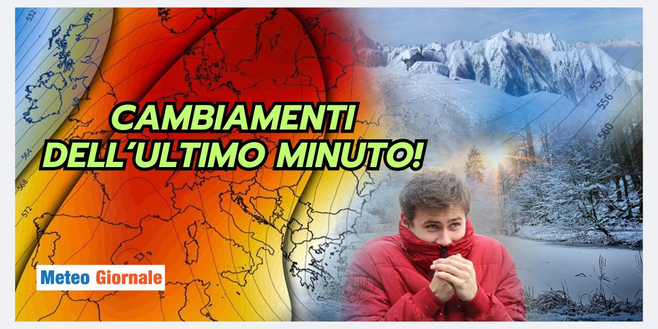
Between Tuesday 26 and Wednesday 27, Italy is experiencing weather conditions characterized by variability, with potential snowfall in specific areas of the country.
The depression that developed on December 23 will continue to affect the weather on the Adriatic side and in the southern regions of Italy until today, St.
Stephen’s Day, before gradually moving towards Greece. This shift will bring a gradual improvement, with the influx of less rigid and increasingly stable northeasterly currents.
Improvement today
On December 26, high pressure will extend over much of central Europe, also affecting many areas of Italy.
In northern Italy, along the Tyrrhenian side, and in Sardinia, predominantly stable and clear weather is expected, with a rise in temperatures that will be milder compared to previous days.
On the Adriatic side, however, starting from Ancona and in some areas of southern Italy, particularly in the mountainous areas of the Apennines and northern Sicily, scattered clouds will be present in a colder and more ventilated context. The expected precipitation will be sporadic and of low intensity, as indicated by the main weather forecasting models.
Tomorrow: the latest updates
Wednesday, December 27, could show greater atmospheric instability, but the evolution remains uncertain due to divergences among the main weather models.
According to the GFS model, the Greek depression may return to Italy, with widespread precipitation that could include snow at low altitudes on the central Adriatic side and southern Italy, particularly affecting Abruzzo, Molise, the Gargano area of Puglia, and northern Sicily again.
In contrast, the ECMWF model suggests a different scenario, with the cold air moving further south, limiting the effects to the southernmost areas of Italy and leaving the central and northern regions in more stable conditions.
Regardless of the model, it is more than certain that northern Italy and the Tyrrhenian side of the center will enjoy atmospheric stability between December 25 and December 28, with clear skies and no significant precipitation.
An Italy divided in half
The presence of high pressure over the European continent will ensure good weather conditions in the northern and central Tyrrhenian regions, with a drier climate and gradually rising temperatures.
Meanwhile, the Adriatic and southern regions will remain influenced by northeasterly currents that will favor greater ventilation, especially along the coasts and on the hills.
In the most exposed areas of the central Adriatic, including the coasts of Marche and Abruzzo, and in southern Italy, particularly in Puglia and Calabria, cold winds could intensify, making the climate harsher. Minimum temperatures, especially during nighttime hours, could approach 32°F, with possible frosts in the inland areas.
Possible bad weather scenarios towards the weekend
Attention remains high for the possibility of a new phase of bad weather localized between Friday, December 29, and Saturday, December 30, which could bring a return of winter conditions to some Italian regions.
In particular, the risk of low-altitude snowfall remains concentrated along the Adriatic side and in the south.
Current projections indicate that the central Tyrrhenian and northern regions will continue to benefit from the protection of the anticyclone, maintaining stable weather and milder temperatures.
However, any changes in the trajectory of cold air masses could alter the expected weather scenario.


