
 Winter in the Northern Hemisphere is shaping up to be a period of great atmospheric dynamism, with the polar vortex (PV) playing a crucial role.
The current meteorological configuration, characterized by oscillations in major climate indices such as the Arctic Oscillation (AO) and the North Atlantic Oscillation (NAO), is profoundly influencing the behavior of air masses and the distribution of temperatures over Europe and the Mediterranean.
The Arctic Oscillation and pressures at high latitudes
Currently, the Arctic Oscillation remains close to neutral values, with a slight tendency towards a negative phase.
This state reflects a situation of mixed anomalies in pressure and geopotential height over the Arctic area, with no significant changes expected in the short term.
A negative AO phase tends to favor the influx of cold air towards mid-latitudes, increasing the risk of intense cold and snow in many areas of Europe, including Italy.
However, at the moment, the impact of this index is mitigated.
North Atlantic Oscillation: from positive to negative
The North Atlantic Oscillation is currently in a positive phase, with negative pressure anomalies over Greenland.
This configuration favors the maintenance of high pressures over Northern Europe and the presence of depressions over the Mediterranean.
However, a gradual shift to a negative phase of the NAO is expected, with a strengthening of high pressures in the Greenland area and a consequent blocking effect on atmospheric circulation.
This change could have significant consequences, increasing the likelihood of cooling in southern Europe and a return to marked winter conditions.
High pressure and geopotential anomalies: effects on Italy
The Mediterranean, including Italy, is currently influenced by negative geopotential height anomalies, bringing variability and temperatures in line with seasonal averages.
With the progressive consolidation of high pressures over Central Europe, an increase in atmospheric stability is expected, especially in the regions of Northern Italy, accompanied by persistent fog in the Po Valley.
Conversely, Southern Italy and the Main Islands could still be affected by infiltrations of colder air, with the possibility of localized precipitation and slightly below-average temperatures.
The polar vortex: relative stability and blocks at high latitudes
The dynamics of the polar vortex continue to show alternating episodes of stretching and relaxation, typical of this season.
Recent signals indicate the possibility of a block at high latitudes, with a strengthening of geopotential height anomalies over Greenland and Northern Europe.
This phenomenon could alter the atmospheric flow, favoring descents of Arctic air towards Southern Europe.
The interaction between a stable polar vortex and the block at high latitudes is crucial for the future course of winter.
Configurations of this type increase the risk of cold outbreaks that could bring snow and frost to low altitudes in Italy in the coming days.
Outlook for the new year
The beginning of 2025 could hold significant surprises, with atmospheric configurations still evolving.
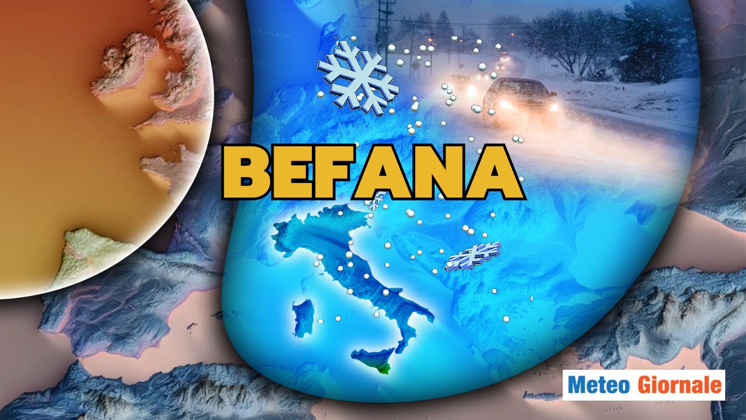
The potential strengthening of high pressures in the Greenland area and a temporary weakening of the polar vortex could create ideal conditions for a cold and snowy Epiphany, especially in the regions of Central-Southern Italy.
Winter thus remains in balance between phases of stability guaranteed by high pressure and cold air outbreaks that could transform the weather scenario suddenly, making the early part of the year particularly interesting from a meteorological perspective.


