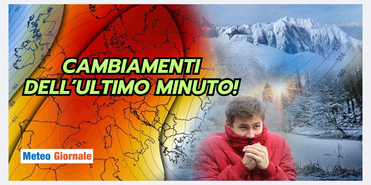
 The upcoming weekend, coinciding with the last days of December, will be marked by a significant change in the weather pattern, bringing more stable conditions across much of the country. Europe is currently characterized by a dynamic opposition between two main players: on one side, a robust high-pressure system extending from the Iberian Peninsula towards France, Germany, and up to the southern coasts of Norway. On the other side, a vast cyclonic circulation with its epicenter between Greece and Turkey, which continues to negatively influence the southern Italian regions and some parts of the central Adriatic coast. In the coming days, the cyclonic area will maintain weak activity over the eastern Mediterranean, but in Italy, the consolidation of high pressure will become increasingly evident. This atmospheric development will ensure a predominantly sunny weekend across much of the national territory. Saturday, December 28, and Sunday, December 29 will pass under clear or slightly cloudy skies, with only some isolated cloudiness in the southern regions. This will be caused by the passage of a cold drop coming from Russia, which will quickly reach Greece, only marginally brushing southern Italy. Despite the widespread good weather, there will remain the risk of dense fog and fog banks, especially during nighttime and at dawn.
These phenomena will be more likely in the Po Valley, in the internal valleys of the Center, and in rural areas near watercourses.
This is an element to consider for those traveling during the early hours of the day or late evening. After a period characterized by strong atmospheric dynamism that affected many Italian regions, the end of December will bring a phase of meteorological calm. This calm scenario will accompany the country at least until New Year’s, marking the end of the year under the sign of stability and good weather for most regions.

Weather, December ends beautifully: Unbelievable maps
Our articles from Meteo Giornale are on Google News, follow us for free!


