WEATHER UNTIL DECEMBER 20, 2024, ANALYSIS AND FORECAST
Italy is dealing with a disturbance, which results in rainy weather in many regions, particularly on those of the Tyrrhenian side.
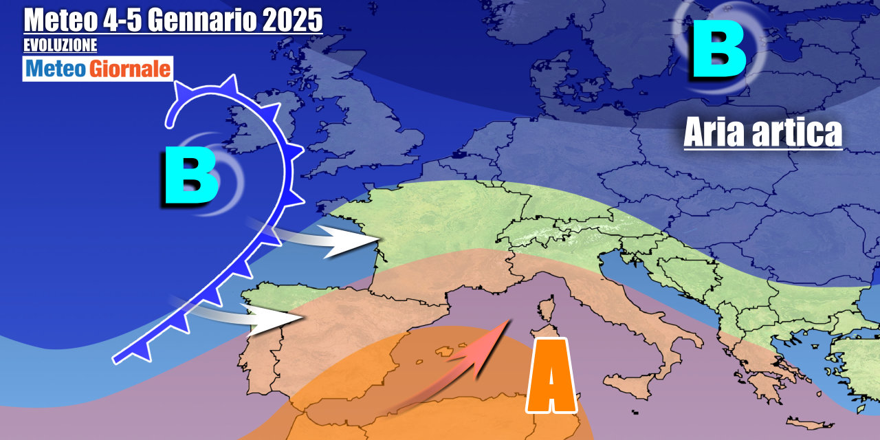
The frontal system is connected to the vast depression channel still active over the Mediterranean, with a new weak pressure minimum now over the Tyrrhenian Sea.
The most organized precipitation will pass over Central Italy. This phase of instability should continue into the weekend, when on Sunday the 15th a cold front from Northern Europe is expected to provide support.
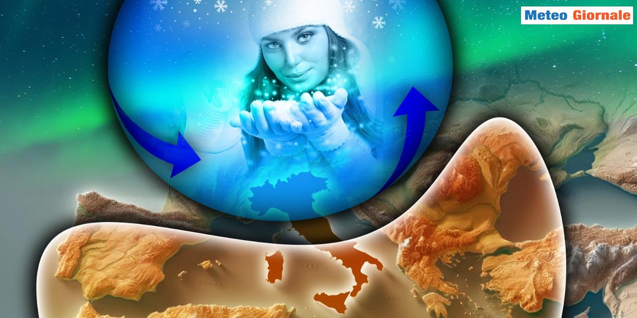
The weather will remain unstable especially in the Center-South, while colder air could slightly lower temperatures, with some snowfall in the Apennines down to medium altitudes. The cooling will be accentuated by strengthening winds from the northern quadrants. Important news is confirmed from the beginning of next week, the one that will lead us towards Christmas.
A period of stability should establish itself over the entire country, with no rain and mostly sunny weather except for fog in the Po Valley.
Temperatures will rise in the highlands. There will therefore be a temporary hibernation phase of Winter for a few days. A probable weakening of the anticyclone is expected from December 20, with the passage of a first Atlantic front that could generate a depression for the weekend of the 21st-22nd.
Instability and relatively cold weather could also characterize the days leading up to Christmas.
IN DETAIL
Saturday, December 14: significant variability in the Center-South, with scattered showers and downpours especially in the Tyrrhenian areas but also in much of the central regions in the afternoon-evening.
Snow in the Apennines initially above 4921 feet, then gradually decreasing due to the arrival of colder air. Sunday, December 15: the cold front will move towards the South with scattered showers and snowfalls in the Apennines.
Residual phenomena also between Lazio and Abruzzo, snowy on the reliefs from 3281 feet. Monday, December 16: the anticyclonic recovery will bring back stable weather, improving also in the South. Further weather trends: the anticyclone will further consolidate, with a significant increase in temperatures especially in the hilly and mountainous areas.
The fog will be dense in valleys and plains.
First disturbances from Thursday the 19th, when Atlantic currents will reappear.
 Follow our feed