 The autumn weather has already surprised us with an early cold that manifested even before mid-September, suggesting that the transition to Winter could happen earlier than expected.
In fact, initial forecasts indicated a late continuation of Summer, but reality turned out to be different.
This sudden change in weather conditions suggests that the coming months could hold big surprises. The end of September saw the arrival of cold and atmospheric instability, with configurations that, if they had occurred during Winter, would have led to scenarios of intense cold and snow.
No one expected Summer to end so abruptly, although some signs of instability were already evident since mid-August.
Now, with the arrival of October, we are preparing for a decidedly eventful month from a weather perspective, with the beginning of disturbances from the north that will bring temperatures well below the seasonal average and snow in the mountains. These early signs of cold are laying the groundwork for a Winter that could make itself felt earlier than expected.
The next few weeks will be crucial in defining the weather trends of the cold season.
The disturbances from the north and the atmospheric configurations, which seem to favor cooling, suggest a more rigorous winter weather than we have seen in recent years.
It will also be important to avoid the African anticyclone, which often prolongs out-of-season heat, from settling over the Mediterranean, otherwise getting rid of it could prove difficult. The latest atmospheric configurations lead us to look with particular interest at the month of November, which could be a real turning point for the start of Winter.
Not only that, but there are potential surprises from a climatic point of view, with the return of snow and colder than usual temperatures, especially in the Alps and the Apennines. A key element that could determine the course of Winter is the behavior of the Polar Vortex, which currently seems weaker than in previous years.
This phenomenon, if it continues, would expose Europe to cold incursions, leading to a colder Winter characterized by episodes of extreme cold.
After years of mild winters, in which the Polar Vortex remained strong, this could be the novelty that many weather enthusiasts are waiting for. Moreover, we must not forget the influence that climate change is having on our weather.
Thermal oscillations and episodes of extreme weather, such as sudden cold waves or unusual snowfalls, could become more frequent in the coming months.
The current situation seems to indicate greater atmospheric instability, with configurations that favor the entry of cold air from the Arctic, contributing to making Winter colder than we have experienced in recent years. The regions of Northern Italy, in particular, could see a return of snow even at relatively low altitudes as early as November, while Central Italy and Southern Italy could be affected by sudden cold and heavy rains, with an increase in the frequency of extreme weather.
Even the Main Islands, such as Sardinia and Sicily, will not be immune to these weather fluctuations, with the risk of storms and sharp drops in temperatures. the early arrival of Winter is a concrete possibility, and the weather in the coming weeks will be crucial to understand what awaits us in the cold months.
The current configurations seem to be preparing the ground for a winter season full of surprises, with the weak Polar Vortex that could lead to a Winter characterized by episodes of intense cold and snow.
The regions of Northern Italy could see the first snowfalls as early as November, while Central Italy and Southern Italy are preparing to face dynamic and unpredictable weather.

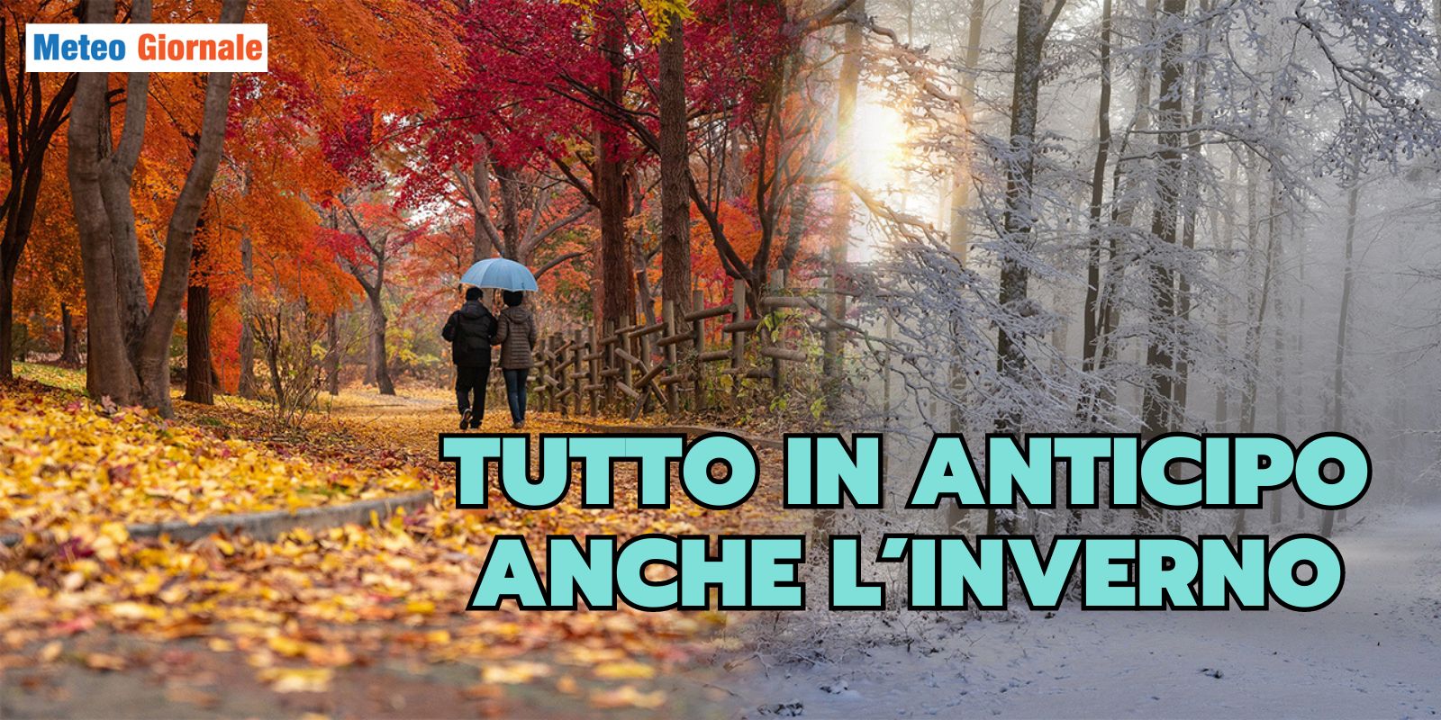
Weather: Everything is Early, Even Winter! The Cold Could Arrive Unexpectedly
Our articles from Meteo Giornale are on Google News, follow us for free!


