
 The North African ridge has been enveloping our peninsula for days and it seems that it will keep us company at least until the first days of September.
However, we must specify that the African ridge currently present over our heads is not as robust and scorching as it was between July and the first half of August.
In fact, it is a relatively weak anticyclone and easily penetrable at high altitudes by cool infiltrations coming from the Atlantic.
It will be precisely these unstable flows at high altitude that will determine very turbulent weather conditions in the coming hours.
But will it be cooler?
Obviously not, considering that there will be no cool intrusions worthy of this name or disturbances capable of bringing a real drop in temperatures. There will simply be the passage of cool air only at high altitude, while on the ground the heat will continue to be felt, indeed it will be responsible for a greater thermal discrepancy between low and high altitudes.
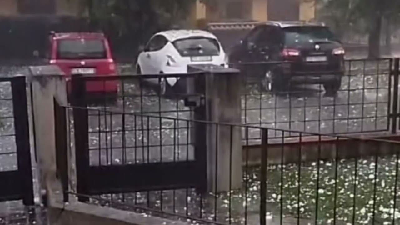
The thermal contrast, even more accentuated, will favor the development of violent thunderstorms both on this Tuesday and Wednesday in many of our regions.
Strong thunderstorms, be careful
These will be thunderstorms mainly in the afternoon and isolated, but still strong.
The regions most at risk between Tuesday and Wednesday will essentially be those of the Center-South, particularly those on the Tyrrhenian side, namely Tuscany, Lazio, Campania, Basilicata, Calabria, Sicily and eastern Sardinia.
In these regions, violent thunderstorms may develop, especially in the mountains and hills, with local spillovers onto the Tyrrhenian coasts. It will be necessary to pay due attention to these violent thunderstorms, which could locally give rise to sudden downpours, local hailstorms and strong gusts of wind.
Local thunderstorms are also expected on the Ionian Puglia, the Murge, the Subappennino Dauno, the inland areas of Molise and Abruzzo, the Marche and also in Umbria. Temperatures will obviously drop only in the presence of thunderstorms for a few hours, giving some moments of relief, then once again swept away by the sultriness and subtropical heat.


