

The Winter that has just begun is showing surprising weather patterns compared to recent years.
There is at least an inversion compared to recent years. Among the causes is a significantly weaker Polar Vortex, which therefore allows cold air to descend to our latitudes. What is the Polar Vortex and why is it so important? The Polar Vortex is a vast area of low pressure located above the North Pole.
It is characterized by a flow of winds that rotate counterclockwise and enclose extremely cold air within it. When the Polar Vortex is compact and stable, cold currents remain confined within the Arctic Circle.
However, if the Polar Vortex weakens or fragments, cold currents can escape southward, bringing intense cold waves accompanied by disturbances. Not surprisingly, we are about to experience a significant Arctic air plunge, which will favor the development of a vigorous depression.
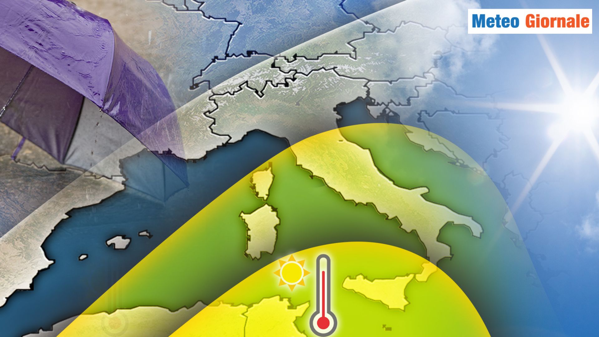
We are expecting a winter storm with lots of rain and snow.
It won’t be anything exceptional, but it’s something we haven’t seen in recent winters. Given these differences, the hope is for a Winter 2024/2025 that is very different from the recent past.
In recent years, we have seen a series of particularly dull winters, which we could almost define as non-existent. But is this really the new climate? Probably not. It would indeed be absurd for winters to have changed so dramatically and not just because of the increased warmth. The exceptional winter anomalies of recent years, which we have observed in Europe, are indeed attributable to a mix of unfavorable factors.
From mid-December, Winter could take a break
An important role has certainly been played by climatic indices, which have not been exactly favorable not only for cold events but also for at least dynamic winters. The Winter that has just begun seems to show that dynamism that seemed lost.
If the morning shows the day, there is reason to be optimistic. We need to see if and how long it will last. The current unstable and cold phase will accompany us for the first few days of next week, with the depression vortex still active over the Mediterranean.
Following this, there could be a change that will, however, become more evident from mid-month. The trend after mid-December seems favorable to a strengthening of Atlantic currents again in Europe, with milder western inflows.
In Italy and the Mediterranean, the Azores High could extend. This would result in a significant easing of winter conditions. Generally, it is common that during the period around Christmas, there is this rebound of the Polar Vortex. Not surprisingly, cold winter periods with frost and snow almost never occur during the Christmas holidays. However, nothing would be compromised for Winter, which can then restart with surprises after the break.


