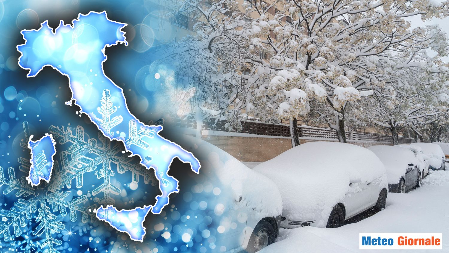
 One wonders when snow might return to the Po Valley, while in recent days the newspapers have reported the very heavy Christmas snowfalls that have affected the Adriatic regions and the Apennines, events that had not occurred for many years.
Moreover, a wave of bad weather with such intense Christmas snow had not been seen since as far back as 1986 in the central-southern regions. The current climatic context shows an increase in the average temperature in the northern regions of about 36 °F compared to the 1970s.
This is a considerable increase, especially when compared to the increase in global temperature, which in the same period has risen by half, or 34 °F.
This increase has occurred largely in the last 15 years for two main reasons: the significant decrease in cold air intrusions from Russia during the winter, which has led to an increase in winter temperatures, and the increasingly marked persistence of African high pressures during the summer season. The intermediate seasons have also warmed: a little less in spring, but much more noticeably in autumn.
Consequently, with the increase in average temperature, the snow that used to fall in the Po Valley with temperatures close to 32 °F today more frequently turns into rain.
Additionally, the rainfall regime has also changed: precipitation is less frequent but, when it occurs, it is often more intense. The spontaneous question is: when will snow return to this part of Italy, where winter once brought abundant snowfalls? Until the meteorological pattern changes, that is, the general configuration of atmospheric currents, the possibility of snowfalls will remain very low, limited to entirely occasional phenomena, as happened at the end of December 2020, when snowfalls occurred mainly in the central-western sector.
For the rest, there have been episodes of light snow or weak snowfalls. Experts argue that with the increase in global temperature, we might witness more intense cold waves.
However, if the “eastern gate,” that is, the atmospheric circulation from Russia, does not open, the chances of snowfalls will remain low.
This is because the currents coming from the north are milder, due to the average increase in temperatures.
To see abundant snow, a significant cold would be needed, capable of bringing temperatures to 32 °F even during the day, a necessary condition for the formation of the “cold cushion” typical of the Po Valley. Mathematical model projections indicate a higher probability of significant meteorological events this year compared to previous years.
These events seem to be concentrated in the period after New Year’s, with the possibility of snowfalls perhaps similar to those of late December 2020.
However, each meteorological scenario is unique, and it is not possible to predict with certainty what will happen.
We await further updates and will comment on the weather evolution as more precise information emerges.

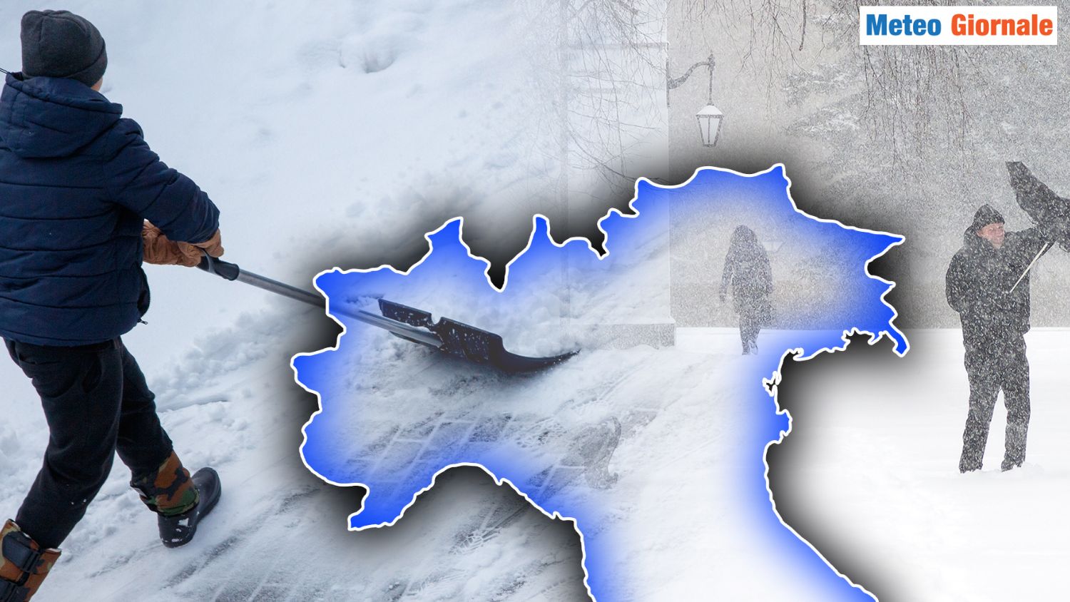
Po Valley, when will it snow?
Our articles from Meteo Giornale are on Google News, follow us for free!


