
You heard right: the latest weather forecasts indicate a drastic change in the atmospheric picture over Italy in the coming weeks, with a possible early arrival of Winter.
The main meteorological models, such as ECMWF, indicate that the High Pressure that has dominated Western Europe is now about to give way.
After influencing the autumn climate with above-average temperatures, it is time for a sharp change that will bring cold Arctic air towards the central Mediterranean.
Cold incursion from Eastern Europe: here is the first impact
Starting from Sunday, November 10, cold currents of Arctic origin begin to penetrate Italy, coming from Eastern Europe.
The icy air will initially reach the South of the Peninsula, bringing a significant drop in temperatures of about 4-5°C.
Between Sunday and Monday, the southern regions, particularly the Ionian coasts, will experience local showers and an increase in northern winds.
But the real change is expected between Wednesday, November 13, and Friday, November 15, when a second and more intense cold wave will hit the entire Peninsula.
This time, the cold winds will also be felt in the North, introducing a marked bad weather phase that will extend over much of the Italian territory.
Temperatures will drop further, with values well below the seasonal average, especially in the northern regions and the interior of the Center.
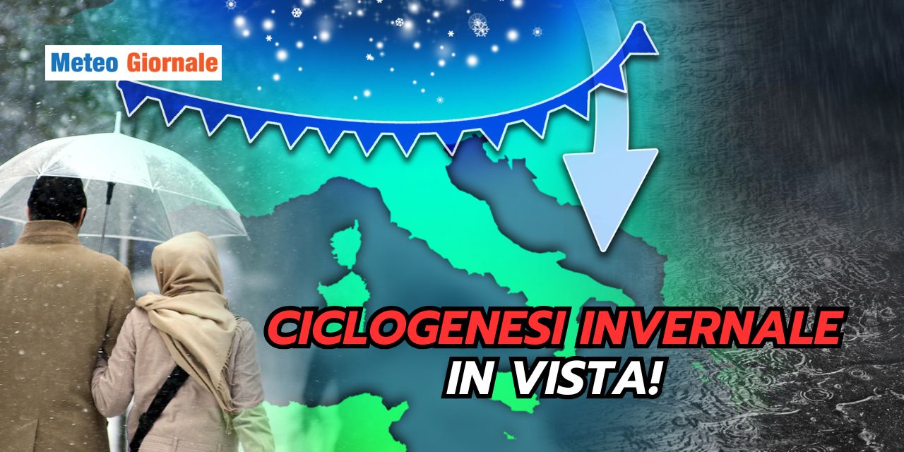
A cyclone forming over the Tyrrhenian Sea: a second decisive step
Forecasts indicate that the arrival of Arctic air could trigger the formation of a cyclone over the Tyrrhenian Sea between November 12 and 15.
The thermal contrast between the incoming cold air and the still relatively warm waters of the Mediterranean will create ideal conditions for the development of a deep low-pressure area.
This cyclone will bring heavy rains and thunderstorms especially to the Center-South, with the risk of extreme phenomena such as hailstorms and strong gusts of wind.
In the North, however, the drop in temperatures will bring snowfalls at lower altitudes than seen so far this season.
The central Apennines and the Alps could see significant snow accumulations, especially above 1200-1500 meters, but locally the snow could fall even below 1000 meters.
Possible low-altitude snowfalls: watch out for flakes in Piedmont
The arrival of cold Arctic air will favor the first snow of the Winter season along the Alpine arc and the Apennines.
Snowfalls could occur as early as Monday, November 11, with flakes that could fall down to 800 meters in western Piedmont.
This region, thanks to its particular geographical conformation and the effect of the cold air cushion that forms in the Po Valley, is often the first to experience low-altitude snowfalls.
Although there are rumors of possible snowfalls even in the plains of Northern Italy, meteorological models currently do not confirm such extreme scenarios.
Despite the rather intense cold air, it is likely that ground temperatures will not drop enough to ensure widespread snowfalls in the plains in this first phase.
However, in more sheltered and inland areas, especially in the valleys of Piedmont and Lombardy, it is not excluded that brief snow showers mixed with rain could be seen, perhaps even at altitudes of 7-800 meters, but without significant accumulations.
The importance of the Po Valley cold cushion: it could make the difference
The phenomenon of the cold air cushion in the Po Valley could prove decisive for the arrival of low-altitude snow.
This layer of icy air trapped in the lower atmospheric layers of the plain, if well-formed, can allow snowfalls even when warmer air tries to penetrate from the Atlantic.
However, for this phenomenon to occur, ground cooling must be sufficiently intense, which does not always happen in the early stages of a cold incursion.
In the current case, the main risk is that the sirocco winds associated with the cyclone forming over the Tyrrhenian Sea could erode the cold cushion, turning the snow into rain in the plains.
Only in more protected areas from the wind, such as the more inland valleys of Piedmont and Lombardy, is it possible that the snow will resist.
Second half of November: what to expect
Looking ahead, forecasts for the second half of November indicate a further deterioration of weather conditions, with a possible strengthening of Arctic currents over the Mediterranean.
This could translate into a prolonged period of intense cold, with the possibility of further snowfalls even at low altitudes.
However, much will depend on the persistence of the Anticyclone over Western Europe and the ability of Atlantic disturbances to penetrate the Mediterranean.
The cold season therefore seems ready to anticipate its arrival this year, with Winter possibly knocking on Italy’s door as early as mid-November.


