
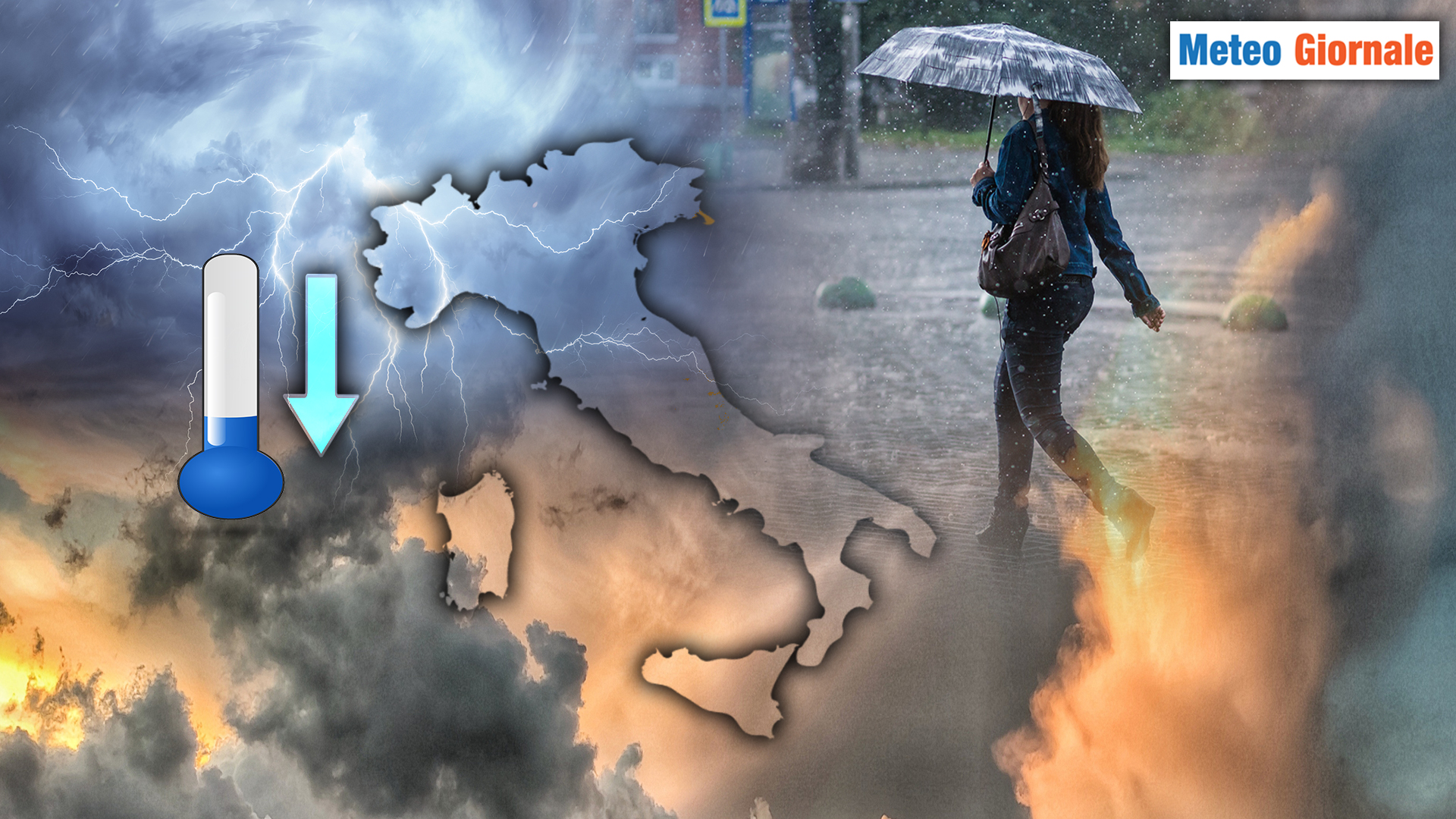
 A weekend under the sign of change is on the horizon for most of Italy, with the arrival of a fast-moving cyclonic vortex that promises to drastically alter weather conditions, particularly in the central-northern regions. Intense thunderstorms and hailstorms are expected in various areas, accompanied by a marked drop in temperatures.
The central-northern areas will be the most affected, with the possibility of a temperature drop exceeding 10 degrees.
This abrupt change will put an end to the oppressive heat of recent days, offering a momentary relief from the intense heat.
After a still warm Saturday with sporadic thunderstorms over the Alps, the Apennines, and, towards the evening, in the Northwest and Sardinia, the focus shifts to Sunday, when the expected vortex will come into full swing.
It will be essential to pay attention to the forecasts and follow any weather alerts, especially regarding thunderstorms that could be of strong intensity, accompanied by gusts of wind, downpours, and local hailstorms.
By Monday, even the southern regions will experience a general drop in temperatures, but the overall weather picture will remain relatively calmer.
Is summer at its end then? Not at all! Already by the middle of next week, a new offensive from the African anticyclone is expected. Starting from Thursday, temperatures will begin to rise sharply again, with peaks that could reach 34-35°C in the southern and central regions, and to a lesser extent in the North.
We will closely follow the next updates to verify if these forecasts will be confirmed.


