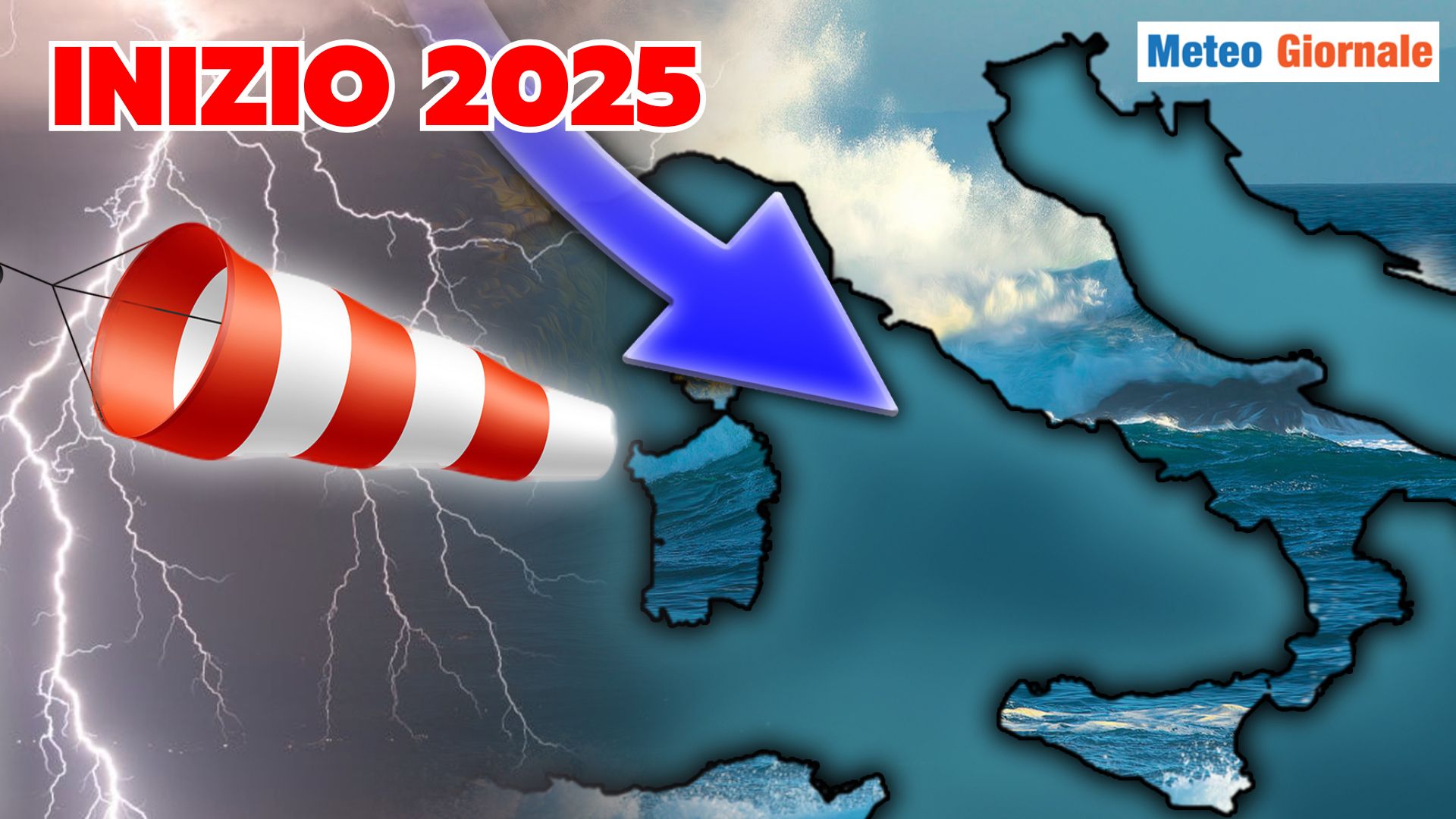
 POSSIBLE WEATHER EVOLUTION OVER 15 DAYS Mathematical models confirm the onset of May marked by unstable climatic weather conditions, locally disturbed. We are indeed expecting a deterioration of a clear oceanic matrix, a worsening induced by a broad Atlantic depression capable of progressively extending over the central western Mediterranean.
The Mediterranean in turn will respond, let’s not forget that it comes from a period of imposing thermal extremes, which is why the contrasts could contribute to enhancing the expected phenomena. Moreover, we will have two bouts of bad weather: the first is now imminent, the second should occur over the course of the weekend.
Afterwards, there will be a period of variability and evolutionary uncertainty, indeed the various model projections reveal various scenarios and choosing one – at this moment – is really complicated. THE SHORT-TERM WEATHER Certainly, the middle phase of the week will be marked by bad weather.
Bad weather coming from the west-southwest, therefore supported by clearly oceanic currents with a tendency to rotate the winds from the northwestern quadrants.
This will trigger, in the coming days, a generalized drop in temperatures. Precipitations may be locally intense, especially on the Tyrrhenian sectors, in Sardinia, and in the Northwest.
However, be careful, because atmospheric instability could locally favor intense thunderstorms even in the rest of Italy. Following, over the weekend, there will be a resurgence of instability not to be underestimated but which will be discussed in detail elsewhere. FURTHER CHANGE In the subsequent period, heading towards mid-May, there could initially be a regime of marked variability due to predominantly westerly currents, after which we might witness a temporary improvement with a resurgence of the African Anticyclone.
But it could be a temporary phase. IN CONCLUSION May, it seems, might confirm the dynamism we have observed at various times in April, a May that will certainly not fail to reserve some evolutionary surprises. We remind that weather forecasts with a validity of up to 5 days are more reliable, while this decreases as we move further in time.

WEATHER 15 days, May starts off unsettled
Our articles from Meteo Giornale are on Google News, follow us for free!


