
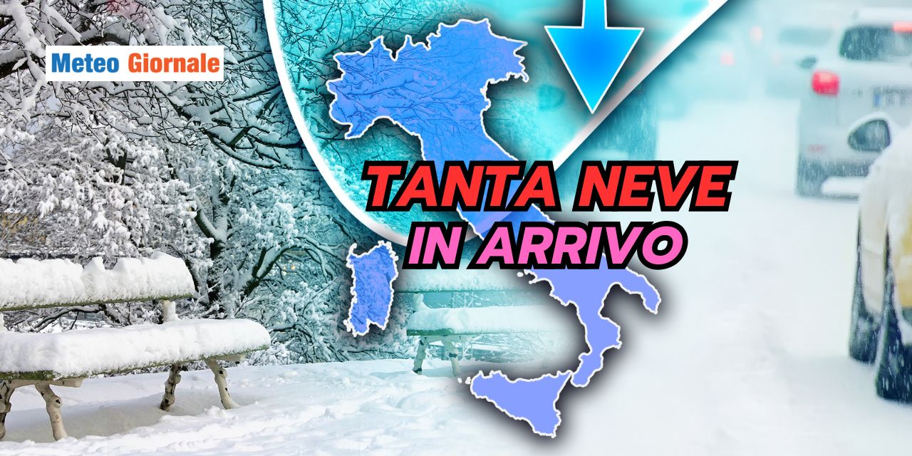
As the heart of Winter approaches, Italy is preparing to welcome a new weather phase, dominated by heavy snowfall and widespread bad weather in all regions. After a period characterized by High Pressure and scarce precipitation, a very different scenario is on the horizon, with particular attention to the weekend and the beginning of next week.
Snow returns as the protagonist!
Atmospheric conditions will begin to change rapidly starting from the afternoon of Saturday, December 7.
An Atlantic disturbance will hit Northern Italy, bringing a general deterioration with snowfalls even at hilly altitudes.
Between Lombardy and Piedmont, the foothill areas may see moderate snow accumulations, while in the plains, the precipitation will mostly be in the form of rain.
In the Alps, however, the situation will be very different: heavy snowfalls are expected, with accumulations that could reach 20-28 inches on the border Alps by Sunday, December 8.
In the Central-Eastern Alps, mid-altitudes will see accumulations of 8-16 inches, confirming the intensity of the meteorological event.
Snowfalls extend to the Center
Between Sunday, December 8 and Monday, December 9, the bad weather will move towards Central Italy, involving the Tuscan-Emilian Apennines and the Marche.
Above 2000-2600 feet, the snowfalls will be heavy, with accumulations that could reach 20-28 inches above 3000-3300 feet and 12-20 inches at lower altitudes.
In the hilly areas of Emilia-Romagna and Marche, snow could appear up to 650-1300 feet of altitude, with the possibility of accumulation even at these lower altitudes.
However, uncertainty remains high, especially regarding the intensity of the snowfalls in these areas.
Abruzzo and Southern Italy: the mountains turn white
On Monday, December 9, Abruzzo and the southern regions will begin to be affected by the deterioration.
In the Abruzzo Apennines, snowfalls will drop to 1600-2300 feet, with significant accumulations especially at higher altitudes.
In Southern Italy, the snow level will be higher, ranging between 3600 and 4300 feet.
Above these altitudes, the mountains will be covered by heavy snowfalls, while at lower altitudes less intense phenomena are expected, but still present.
A Winter that starts with a bang!
By Tuesday, December 10, most of the Italian mountain ranges will be covered in snow, from North to South.
Winter is finally showing its most characteristic face, offering suggestive landscapes and a white mantle that could be the prelude to an intense snowy season.
Snow, in fact, knows no limits and seems to want to embrace the entire Italian territory, offering a unique spectacle even at hilly altitudes.
The next few hours will be decisive to confirm the details of this intense wave of bad weather which, according to current projections, will leave a significant meteorological mark on the whole of Italy.


