
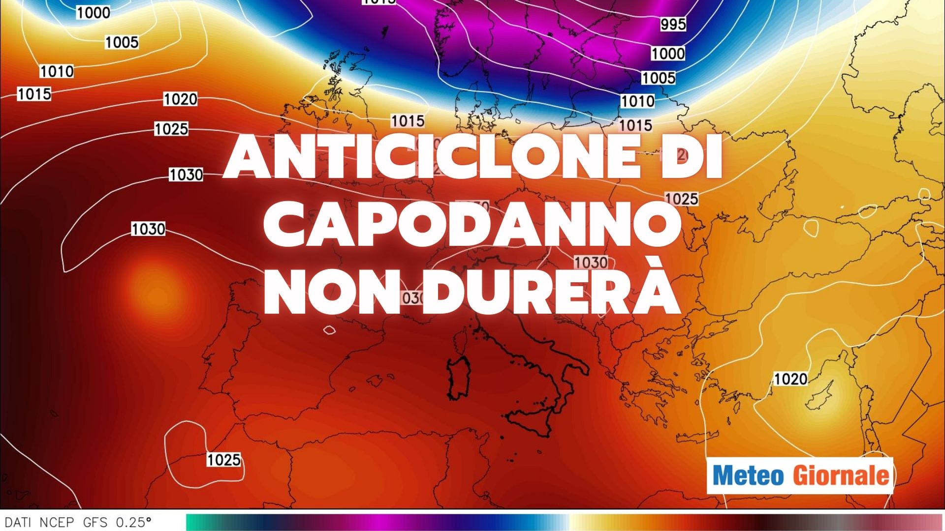
 With the arrival of 2025, the weather evolution in Italy will undergo significant transformations. The Anticyclone that has dominated in recent weeks will gradually give way, making room for a period characterized by greater instability and bad weather.
New Year’s Day: the end of stability
On January 1st, the atmosphere will begin to show signs of change.
Humid currents coming from the southwest will bring clouds and scattered rains, especially over Liguria, upper Tuscany, and the western part of Lombardy.
These will initially be moderate phenomena but indicative of an imminent worsening.
Thursday 2: worsening to be confirmed
Thursday, January 2nd, will mark the entry of a more decisive disturbance that will affect Northern Italy and the Tyrrhenian regions.
The rains will become widespread and more substantial, affecting vast areas.
In the Alps, snowfalls are expected above 2,625-3,280 feet, while in the northern and central Apennines, snow will settle at altitudes above 4,921-5,906 feet. This worsening will be the prelude to a rather critical Friday, January 3rd, for the Northeast, where bad weather will persist with greater intensity. But on these points, it is better to wait for new updates.
Snow accumulations on Italian mountains
Snow will play an important role during this phase.
In the western Alps, above 3,937 feet, accumulations could reach 4 inches, while in the central-eastern Alps, snowfalls will be more abundant, exceeding 6-8 inches at the same altitude, with peaks of 12 inches in the most exposed areas.
Below 3,280 feet, accumulations will be more modest and almost absent below 2,625 feet.
First weekend of January
Starting from Saturday, January 4th, the currents will shift from the northwest.
This will bring a general improvement in atmospheric conditions in many areas, but instability will persist along the Adriatic coasts and in the southern regions.
In the rest of the country, however, the sky will gradually clear. Despite the improvement, temperatures will remain low, with values below the seasonal average.
The wind will be a significant factor, making the climate harsher in some areas.
Cold currents and possible cold waves
Towards the end of the first week of January, cold currents from the north may arrive.
This scenario would lead to a significant cooling, especially along the Adriatic side, with possible episodes of intense cold.
However, this weather evolution needs further confirmation, and updates in the coming days will be crucial to precisely outline the extent of the phenomenon.


