
 Cold snap incoming, in this article we discuss the weather details for the next 3 days.
After a recent disturbance that affected the Center-South, with phenomena now ending in the Ionian regions, a new wave of bad weather is preparing to involve much of the country. The Immaculate Conception weekend will be characterized by a vast cyclonic area fed by cold Arctic currents, bringing with it rain, thunderstorms, strong winds, and low-altitude snowfalls.
Saturday 7: intense worsening
On Saturday, December 7, the weather will initially still be relatively stable in many areas.
However, during the day, atmospheric pressure will begin to drop rapidly, favoring the development of a low-pressure system that will position itself between the Ligurian Sea and the Northern Tyrrhenian Sea.
This will lead to a progressive deterioration of weather conditions, especially in the Center-North. In the North, the first rains will appear in the afternoon, intensifying towards the evening, especially between Lombardy and the North-East.
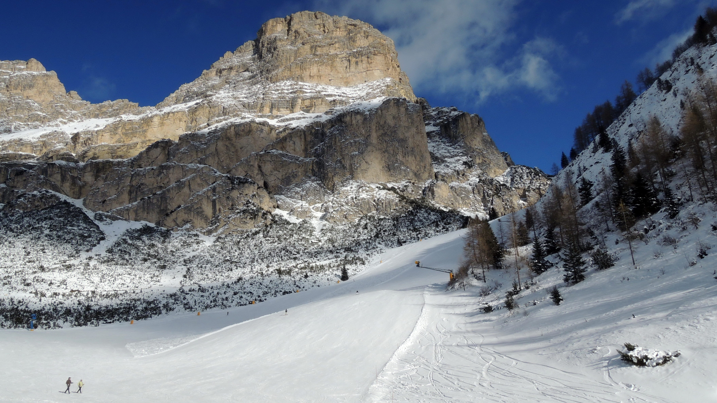
In the Alps, the precipitation will turn into snow, with accumulations starting from the hilly areas by night. In the central and southern regions, the worsening will be more evident on the Tyrrhenian side and along the Apennines.
Rain and thunderstorms will become more widespread in the evening, particularly affecting the Central Tyrrhenian and surrounding areas. Elsewhere, the weather will be drier, at least until night.
Winds, initially moderate, will progressively intensify.
There will be an increase in the Libeccio and Scirocco, with significant gusts along the coasts and in the open sea.
Temperatures will tend to rise slightly, especially in the Center-South.
Sunday, December 8: widespread winter bad weather
Sunday the 8th will be marked by widespread bad weather conditions.
Precipitation will mainly affect the North-East and much of the Center-South.
The southern Tyrrhenian side will be particularly affected, where intense and abundant rains could cause hydrogeological criticalities. We emphasize that some clearings will be recorded in the North-West and, partially, in some areas of the mid-lower Adriatic.
In these areas, the sky will be variable with moments of respite from the precipitation.
Temperatures will undergo a slight decrease, without extreme variations. Winds will continue to blow intensely across the Peninsula, with Libeccio and Scirocco being the main players in the Center-South.
Significant storm surges will affect the Tyrrhenian coasts, making access to ports and navigation critical.
Deep cyclogenesis over Italian seas
The weekend will be dominated by a marked cyclogenesis that will make the Mediterranean basin particularly turbulent.
This scenario will require careful evaluation of local conditions, especially in areas at risk for intense phenomena. The regions most exposed to persistent rains and strong winds will have to deal with an increased risk of landslides and mudslides.
Significant snowfalls, although localized, will be prominent in the Alpine and pre-Alpine areas, with substantial accumulations starting from 1,640-2,300 feet. the weather situation requires caution, especially for those who have planned trips or outdoor activities during the Immaculate Conception holiday. Intense winds and adverse marine conditions represent an additional element of concern, especially for the Tyrrhenian and Ionian coasts.
Expected temperature values
Temperatures will vary depending on the areas affected by the bad weather.
In the North, especially in the Alpine and foothill areas, values close to 32°F or slightly lower will be recorded during the night.
In the central and southern regions, highs will range between 50°F and 59°F, with higher peaks on the Adriatic side and coastal areas. In the insular regions, such as Sardinia and Sicily, temperatures will be milder but accompanied by strong winds and irregular precipitation.
The feeling of cold will be accentuated by the wind effect, particularly in areas hit by Libeccio and Scirocco gusts.
Summarizing region by region
In Northern Italy, snowfalls will be the most significant element, with increasing accumulations above 1,640-2,300 feet and locally lower in case of intense phenomena.
The plains will be affected by abundant rains, with particular attention to Lombardy, Veneto, and Emilia-Romagna. In the central regions, the most significant precipitation will hit the Central Tyrrhenian, particularly affecting Tuscany, Umbria, and Lazio.
The Apennine areas will also be involved, with snowfalls above 3,280 feet.
In Southern Italy, bad weather will concentrate on the Tyrrhenian side, with strong thunderstorms expected in Campania, Calabria, and the inland areas of Basilicata.
The weather will be more variable on the Adriatic side, with moments of respite alternating with local showers. The Major Islands, Sardinia and Sicily, will be affected by unstable conditions, with irregular rains and strong winds, especially along the western coasts. Winter thus presents itself with force, already highlighting in the first weeks of December a disturbed and dynamic weather picture that could continue in the following days.


