
 Weather Italy: cold air coming and winter bad weather
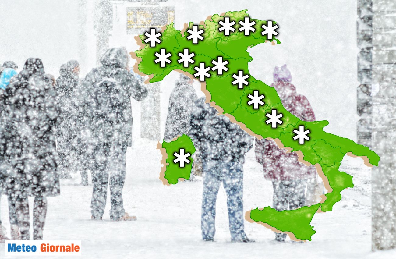
Italy is preparing for a significant meteorological shift, with a change of scenario that will involve all regions from Northern Italy to Southern Italy, passing through Central Italy.
After the departure of the depression that in recent days has mainly affected the south, a new atmospheric front is about to impact the country. This event is linked to a deep North Atlantic trough and a descent of polar and Arctic air.
Sterile cloudiness and first snowfalls in the Alps
At the moment, the weather in Italy is characterized by the arrival of not particularly cold currents.
However, in the Alps the first snowfalls are already being recorded, although limited to the border areas.
The rest of the national territory is affected by widespread but predominantly sterile cloudiness, with insignificant phenomena.
The situation is set to change rapidly over the weekend, when a cold front will cross Italy, triggering intense precipitation, strong winds, and snow at increasingly lower altitudes. It could even snow in various lowland locations.
Especially Sunday, December 8: bad weather coming
The wave of bad weather expected for Sunday, December 8 will be caused by a polar cyclone moving from the United Kingdom towards our country.
This cyclonic vortex will bring with it an extremely cold air mass, triggering a sharp deterioration in weather conditions.
Its action will be amplified by the interaction with a secondary depression that will form over Italian territory.
The weather will take on fully winter characteristics: wind storms, strong thunderstorms, and a significant drop in temperatures will be the protagonists, with a sharp cooling that will create ideal conditions for snow down to low altitudes.
The role of the Azores High
The wave of cold and bad weather that will hit Italy is the result of a typically winter baric configuration.
The northward expansion of the Azores High, with a trajectory that will take it up to Iceland, has favored the descent of cold currents from the Arctic towards the heart of Europe.
This flow of icy air will be responsible for the sharp drop in temperatures and the conditions of widespread bad weather over much of the continent.
Outlook for next week
The cyclonic vortex that will hit Italy on Sunday will not dissipate quickly.
The interaction between cold air and atmospheric instability will favor a prolonged period of winter weather conditions. The North of Italy will continue to be affected by snowfalls, while in Central Italy and Southern Italy showers and thunderstorms will be the protagonists, with the possibility of hail and further snow episodes in the inland areas.
The arrival of Winter will therefore be felt in all its intensity, inaugurating a particularly dynamic and cold climatic phase.
Weather for Sunday, December 8
Northern Italy
The regions of Northern Italy will be affected by dense cloud cover, with abundant rains and intense showers, especially in Veneto and Friuli-Venezia Giulia, where the accumulations will be significant.
In Valle d’Aosta and in northern-central Piedmont, however, the precipitation will be less frequent and irregularly distributed.
The snow level will drop significantly: it will fall between 2,300 and 2,600 feet in the Alps, but it could drop below 1,300 feet in the northeastern areas.
On the hills of lower Piedmont, western Emilia, and Liguria, snow could fall heavily from 1,000-1,300 feet, with possible snow episodes down to the plains thanks to the cooling of the lower atmospheric layers.
Significant snowfalls, over 20 inches, are expected in Veneto, Emilia Romagna, and sometimes in Friuli-Venezia Giulia and southern Trentino.
In the far west of Valle d’Aosta, particularly intense snowfalls are expected.
The winds will be very strong, reaching gale force on the Alpine ridges, in the areas of Liguria, along the Romagna coasts, and in the exposed areas of Veneto and Friuli-Venezia Giulia.
Central Italy and Sardinia
In Central Italy and Sardinia, the sky will be overcast with intermittent showers, locally intense along the Tyrrhenian coasts and on the island, where thunderstorms are not excluded. Snowfalls will affect the central Apennines above 3,300 feet and the hills of Sardinia from 2,600 feet.
In the afternoon, the rains will gradually decrease in Tuscany, Marche, and Umbria.
Snow accumulations could exceed 20 inches in several mountainous areas. Sardinia will be subject to strong Mistral winds, blowing with gale force in the most exposed areas.
Southern Italy and Sicily
In Southern Italy and Sicily, the weather conditions will be characterized by scattered precipitation, more consistent along the Tyrrhenian coasts of Campania, Basilicata, and Calabria, with possible episodes of thunderstorms.
During the afternoon, the rains will gradually decrease in Puglia, favoring the opening of wide clearings.
By the evening, the phenomena will cease in eastern Molise, Campanian Apennines, eastern Basilicata, Ionian Calabria, and the central-eastern areas of Sicily.
Here too, the winds will be intense, with gale force gusts especially in mountainous and coastal areas.
Weather for the following days
Monday, December 9
Overcast conditions will continue with scattered precipitation in lower Piedmont, Liguria, Triveneto, and Sardinia. Snowfalls will continue above 3,300 feet in the Alps and from 1,000 feet in the northern Apennines, with the possibility of dropping to lower altitudes locally.
Tuesday, December 10
Weak precipitation will persist in the western Alps, along the Emilian hills, and in the central Adriatic regions.
The Tyrrhenian areas of the Center-South and Sardinia will still be subject to showers, while in Sicily wide clearings will prevail.
Wednesday, December 11 and Thursday, December 12
A gradual improvement is expected in Northern Italy and the central Tyrrhenian regions, with a return to more sunny conditions.
Residual rains will affect the central Adriatic regions and Southern Italy on Wednesday, while greater stability will be recorded in the South on Thursday.


