Recent satellite observations reveal an extensive layer of low clouds stretching from southwestern Russia to Poland, northern Germany, and Ukraine, a clear sign of intense thermal inversions underway.
This phenomenon is closely linked to the development of a robust anticyclone positioned between European Russia and the plains of Western Siberia.
The atmospheric conditions stabilized by this high-pressure system, typical of the autumn and winter seasons, favor a strong nocturnal cooling of the ground.
The upward radiation of heat during the night contributes to creating a layer of cold air near the ground, topped by warmer air, thus generating the thermal inversion.

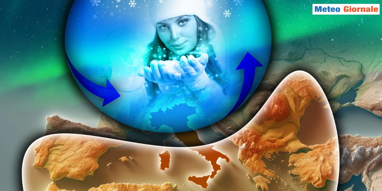
If such dynamics were to materialize, it is plausible that the anticyclonic system would extend its influence to the Mediterranean basin, bringing with it a drastic drop in temperatures.
This configuration could also favor snowfall along the Adriatic regions and freezing conditions in the plains subject to thermal inversions.

We are currently closely monitoring the evolution of this system in the coming days to better understand its potential impact on Mediterranean weather conditions.
the current situation offers insights into the possibility of an expansion of the Russian-Siberian Anticyclone towards the Mediterranean.
However, it remains essential to maintain a cautious approach and continue to observe future updates.
This scenario represents a case study of great interest for meteorologists and climatologists, as the influence of such a high-pressure system could extend well beyond Eastern Europe, significantly altering the climatic pattern over a vast Eurasian area and contributing to the understanding of winter climatic models on a continental scale.


