
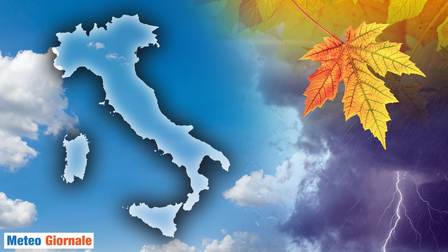
 The weather situation on our Peninsula can be divided into two macro-areas that, paradoxically, do not correspond to those we would expect: in Northern Italy, after the rapid passage of the first cold drop, which brought a quick phase of bad weather limited to the northern regions (with the appearance of snow in the mountains), the meteorological conditions have stabilized.
In Southern Italy, however, the depression vortex has continued to bring intense rains at times.
Unfortunately, the weather report has not been the best, with the flood that hit eastern Sicily (accumulations exceeding 500 millimeters). In the last few hours, the vortex has moved (and is moving) towards Greece, bringing instability also to the rest of Southern Italy, such as in Puglia and Basilicata, where rain had been absent for a long time.
In Northern Italy, however, the high-pressure field has reasserted itself, causing excessive stability for the period, with phases of fog and poor air quality. All this, however, seems destined to change with the arrival of the weekend, and this phase of change could continue into the next week.
So, let’s see what weather awaits us in Italy this mid-November weekend.
Friday still with rains, but they will be the last before the worsening on Sunday
Weather Friday 15: conditions of instability persist from the morning in Puglia, Basilicata, Calabria, and Sicily, especially on the Tyrrhenian sectors.
Sporadic phenomena are also possible in Campania and some snowflakes in the central-southern Apennines at high altitudes.
By evening, the rains will subside in all sectors.
Nothing to report in Northern and Central Italy, with stable and sunny weather conditions.
Just be aware of the fog.
The maximum temperatures will range between 9-14°C, with peaks of 16-17°C in southern Sicily. Weather Saturday 16: the high-pressure ridge returns and widespread stability across the Peninsula.
Sun everywhere, morning fog, and rising temperatures, with highs between 10°C and 16°C throughout Italy. Weather Sunday 17: a calm morning with cloud cover in upper Tuscany, where light showers are not excluded.
In the evening, a significant increase in cloudiness and the probable arrival of a new disturbance starting from the Alps.
Updates will follow.


