
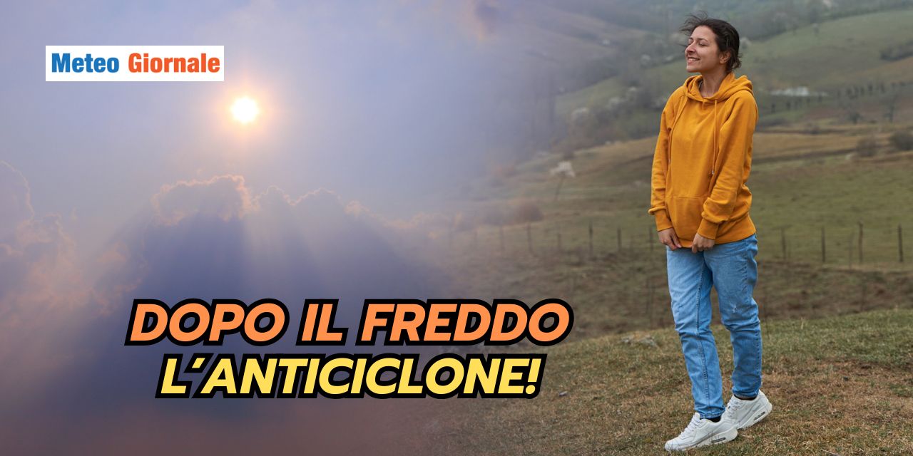
After the cold, the weather will be disrupted again! November has provided stable days and temperatures well above the seasonal average.
This High Pressure scenario has favored the formation of dense fog, especially in the Po Valley, and has worsened air quality due to poor ventilation.
The collapse of High Pressure: first signs of bad weather
The super Anticyclone that persisted for weeks has begun to show signs of weakening, particularly between Sicily and Sardinia, where a depression vortex from North Africa has caused a deterioration in weather conditions.
Subsequently, two cold air impulses made their way towards the western Alps, bringing snowfalls above 3,937 feet (1,200 meters).
Piedmont and Aosta Valley recorded snow accumulations that, although not excessive, represent a first sign of seasonal change.
At the same time, scattered rains affected several regions of Southern Italy.
Intense thunderstorms hit Campania, Basilicata, and Calabria, with accumulations exceeding 1.18 inches (30 mm) in a few hours.
This change is a clear sign that Winter is trying to assert itself, challenging the dominance of the Anticyclone that characterized the first half of November.
Wednesday, November 20: Arctic air!
Wednesday marked a turning point with the entry of cold polar air from Northern Europe.
The northern regions saw a deterioration in weather conditions with snowfalls in the Alps starting from 2,297 feet (700 meters), especially in Trentino-Alto Adige and northern Lombardy.
Central Italy will see a gradual increase in cloudiness over Tuscany, Umbria, and Lazio, with scattered showers in the afternoon.
On the Adriatic coast, however, the weather will be variable with possible clearings, but the northeast winds will bring a temperature drop that will be felt especially in the evening hours.
Thursday, November 21, cold conquers the entire Boot
Between Thursday and Friday, the cold air will also reach Southern Italy, bringing a sharp change in the weather.
Campania will see widespread rains, with thunderstorms hitting the coastal area and possibly extending inland.
In Calabria, the Tramontana winds will bring a temperature drop of 7.2-10.8°F (4-6°C), with possible showers in Catanzaro and Reggio Calabria.
Sicily, particularly the northern sector, will see a marked deterioration with scattered rains and showers, especially in the provinces of Palermo and Messina.
The maximum temperatures on the island will drop to 55.4-57.2°F (13-14°C) in the inland areas, while along the coast they will remain around 60.8°F (16°C).
The Gargano area in Puglia will see cloudy skies with brief rains, while in Salento there will be temporary clearings but with a constant cold wind blowing.
Weather in the coming days: everything overturned
Despite the cold intrusion, forecast models indicate the possibility of a return of High Pressure towards the weekend.
Friday could mark the beginning of an improvement, especially in Northern Italy, where a gradual clearing of the sky is expected, but with very cold weather at night.
Saturday and Sunday could see a new expansion of the Anticyclone over Italy, bringing more stable conditions, especially in the Center-South.
However, Northern Italy could be reached by a new disturbance coming from France, with rains affecting Liguria and eastern Piedmont on Sunday.
Temperatures will rise again in the South, where along the coasts of Calabria and Sicily they could reach 64.4-68°F (18-20°C).
However, nights will continue to be cold in the inland areas, especially in the valleys of the Center-North, with possible frosts in the early morning.
Modest start to Winter?
The oscillations between cold impulses and periods of atmospheric stability will characterize this final part of November and perhaps even the beginning of December.
The Anticyclone will continue to play an important role, but it will be challenged by incursions of cold air from Northern Europe, which could bring snow to mid-low altitudes in the northern regions and a drop in temperatures even in the Center-South.
Winter thus seems ready to make its entrance, although its incursions will probably be interspersed with milder and more stable phases.


