
 The disturbance that is hitting us in these hours is sweeping away the high pressure of African origin, bringing weather conditions back to a decidedly more autumnal than summer context. Heavy rains and thunderstorms are reported almost everywhere, also causing various inconveniences. In short, a completely different weather situation from what we had become accustomed to.
The news is that, over the next few days, or rather the next few hours, the anticyclone will tend to regain its place over our peninsula, giving us a more or less stable weekend. We say “more or less” because it seems that this stability will not last very long.
In fact, from Sunday (since the morning), the depression vortex located between Spain and France will menacingly arrive over the northern regions.
Let’s now see in detail the weather forecast for this first weekend of September.
Today and tomorrow stable and sunny, new disturbance from Sunday
Weather today: quite calm situation for today with at most some clouds especially over the central-northern sectors. In the afternoon, some local showers cannot be ruled out between Piedmont and Lombardy.
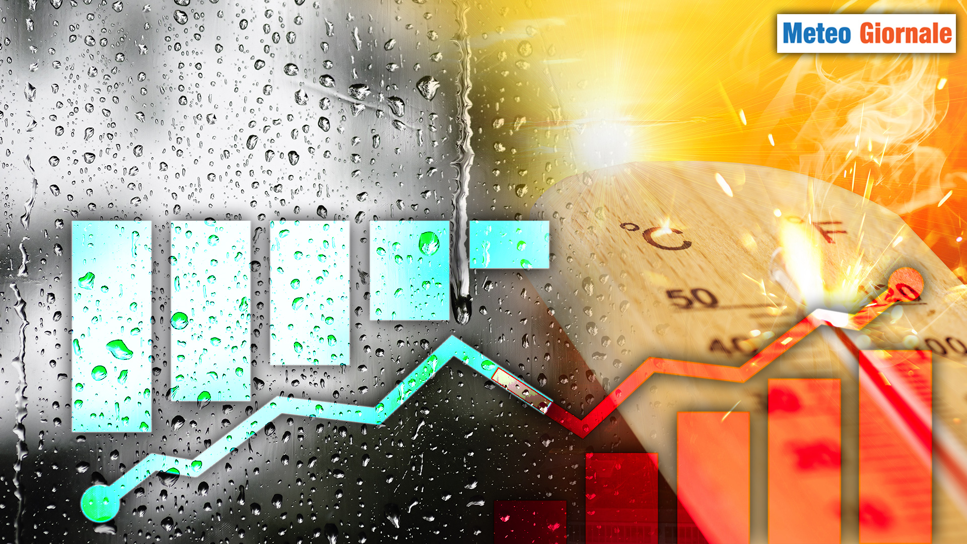
Temperatures slowly recovering, with highs up to 24-25°C in the North, but it will be hot in the South with local peaks up to 35-36°C especially on the two major islands.
Weather tomorrow September 7: another very stable and sunny day guaranteed by the presence of high pressure which will also eliminate the famous afternoon thunderstorms.
Temperatures still further increasing in the North with highs up to 27-28°C.
Always over 30°C in the South and especially in Sicily and Sardinia where 33-34°C can still be reached.
Weather Sunday September 8: here comes the other disturbance arriving forcefully over our peninsula. The first regions to witness the strong deterioration will again be those of the North West and Tyrrhenian regions. By the afternoon, however, rains and thunderstorms will also affect the rest of northern Italy, but also the Center.
Only in the evening will there be a gradual deterioration in the South, especially in Campania. In the other southern regions, to see the rain you will have to wait for the night between Sunday and Monday.
Temperatures falling especially in the Center-North.


