
In this season, which unfolds in the arms of an unusually warm sea, we witness a summer that has been a theater of high pressures and relentless sun, burning like an endless furnace.
Yet, in this present, temperatures continue in a warm embrace that stretches beyond the usual averages.
These days, we find ourselves facing storms of such intensity that they can be compared, in their devastating ferocity, to hurricanes of modest stature.
Recently, even a bomb cyclone made its dramatic appearance on the meteorological scene.
Yet, it seems that the ancient winter, with its icy hands, is only waiting behind the horizon. Will it step into our days? Most likely, yes, and with a sudden and unexpected arrival.
But in this strange repetition of events, there is no trace of exceptionality.
No more than a decade ago, the fields of the Po Valley were adorned in white already by the celebrations of the Immaculate Conception, sometimes even earlier.
It was not a timid caress of flakes melting upon contact with the asphalt, but rather majestic snowfalls, which were artisans in transforming the landscape into a realm of candid silence.
Such spectacle took place under the curtain of an autumn that stripped the trees, an image so different from the still vibrant colors of this year’s foliage, which have only begun to change under the push of a coolness that is slow to arrive.
Instead, the summer aridity, that unbearable heat that scorched the vegetation, has set the stage for this late change, threatening to return again in the upcoming summer.
At the moment, however, we are granted the gift of winter atmospheres that quiver in the cold breezes.
Today’s reflection is a tribute to Milan, witness to the most significant snowfall since the winter of 2012-2013, and, undoubtedly, the only one noteworthy in an era that has seen snow become a rare guest in the Po Valley.
It seems that a crack has appeared in the global climatic balance.
In Italy, especially in the North, the descent of the thermometer towards zero on the plains has become a rarity.
Severe frost was announced, in the past, only after mid-month, while now there are no omens to signal its approach. A glimmer of hope comes from the Alps, which this year have already dressed in abundant snows, even hinting at the possibility of seeing them descend onto the plains.
However, the current climate forecasts that would reassure us about “normality” appear increasingly illusory in the face of a climate that has clearly transformed.
October has passed under atypical warmth, recording temperatures that have shattered all previous records.
This anomaly joins a September that danced to the same rhythm.
We therefore ask ourselves: can these extraordinary events, which are defining the climate in many parts of our hemisphere, channel atmospheric circulation back towards more temperate conditions? This is a question of ponderous relevance, currently devoid of definitive answers, as weather and climate forecasts remain hypotheses open to interpretation.
With November chasing time, it becomes natural to look up at the sky, questioning it about the arrival of the candid snow crystals, which, according to statistical tradition, should already settle on the northern plains by December.
And in other places? Certainly, the hills might host snow already in November, not the plains; but with the arrival of December, the scene could undergo a revolution.
If climate trends were to follow current projections, why not envision snowy scenarios? We are not in the tropics, even if the climate shows a tendency towards tropicalization.
Perhaps it is winter that is contracting, but science instructs us that this presages an increase in episodes of intense rigor, those extreme events that surprise us with their unpredictability.
Science, through in-depth studies and detailed observations, provides explanations on how global warming can be linked to extreme cold waves.
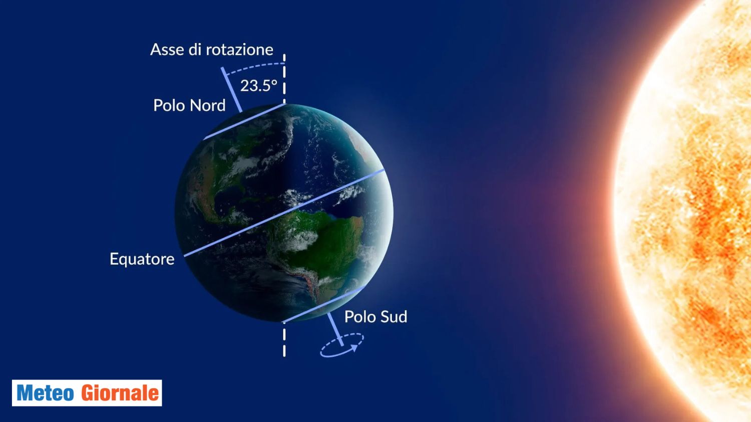
The prevailing theory holds that global warming is altering atmospheric circulation, including the patterns of the polar vortex.
This phenomenon is a low-pressure area found in the polar regions and, as a result of Earth’s warming, can weaken or shift.
When this happens, masses of cold air that are normally confined to polar areas can move southward, bringing with them significantly lower temperatures in regions that normally experience milder winters.
Scientific publications from several years ago, even more than a decade, had already begun to notice and document these changes.
It was observed that the increase in global temperatures could cause, paradoxically, episodes of extreme cold in certain parts of the world, a counterintuitive phenomenon that might seem in contrast with the idea of global warming.
Now, with the benefit of further data and a better understanding of climate systems, scientists are able to provide more solid and detailed explanations regarding how these processes work.


