 The Winter, which has officially started from a meteorological point of view, is preparing to enter its peak with weather and climatic conditions that tend to return to seasonal normality.
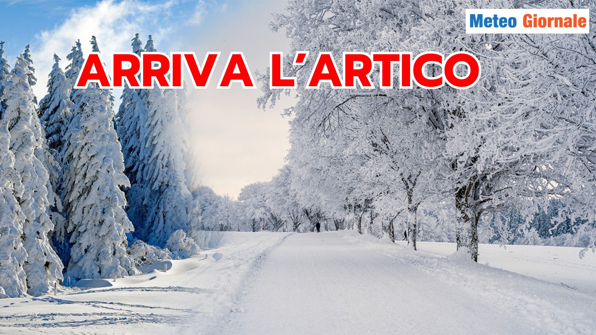
After a start dominated by bad weather linked to disturbances from the North Atlantic, the arrival of cold air directly from the Arctic Circle is expected. Currently, the unstable air mass coming from the northern area of the Atlantic Ocean is pouring forcefully into the Mediterranean, generating a significant cyclonic response.
The first cyclonic deepening has already activated over the central-southern Tyrrhenian, and subsequently, an intensification is expected over the Ionian, where a particularly important depression will form. In the next 48-72 hours, Southern Italy and Sicily will be the most affected areas, with abundant, locally intense, and persistent precipitation.
Thunderstorms could take on exceptional characteristics, with significant rainfall accumulations that require maximum attention. After this phase of strong instability, a brief respite is expected.
However, beyond the Alps, the first signs of a significant anticyclonic maneuver are emerging.
The High Pressure will rise northward, blocking the Atlantic flow and gradually bending northeastward towards Scandinavia. This shift will activate a rapid descent of cold air of Arctic origin.
The cold air mass, arriving over Central Europe, should also affect the regions of Central-Northern Italy, bringing a drastic drop in temperatures and a significant lowering of the snow level. The weather conditions will give way to typically winter scenarios, with the possibility of snow in the Po Valley and the hilly areas of Central Italy.
In Sardinia, snowfalls could drop to hilly levels, while in Southern Italy and Sicily, the snow level should be slightly higher, remaining around 2300-3300 feet. Subsequent scenarios suggest a further strengthening of the High Pressure over Western Europe, with a new elevation northward that could trigger a second descent of Arctic air towards mid-December. In this second phase, the incursion could take on more incisive characteristics, with a further drop in temperatures across the entire Italian territory. Precipitation will need to be monitored, especially regarding the formation of new Mediterranean depressions that could amplify the effects of the cold. However, the Arctic influence seems destined to consolidate, leaving a marked winter imprint on the first half of December. Current prospects indicate that the cold could extend towards the Christmas period, with possible significant repercussions on the weather-climate framework.
The situation remains evolving, but the trend towards a decisive winter seems well outlined.

WEATHER for 15 days, major Arctic incursion. Snow confirmed
Our articles from Meteo Giornale are on Google News, follow us for free!


