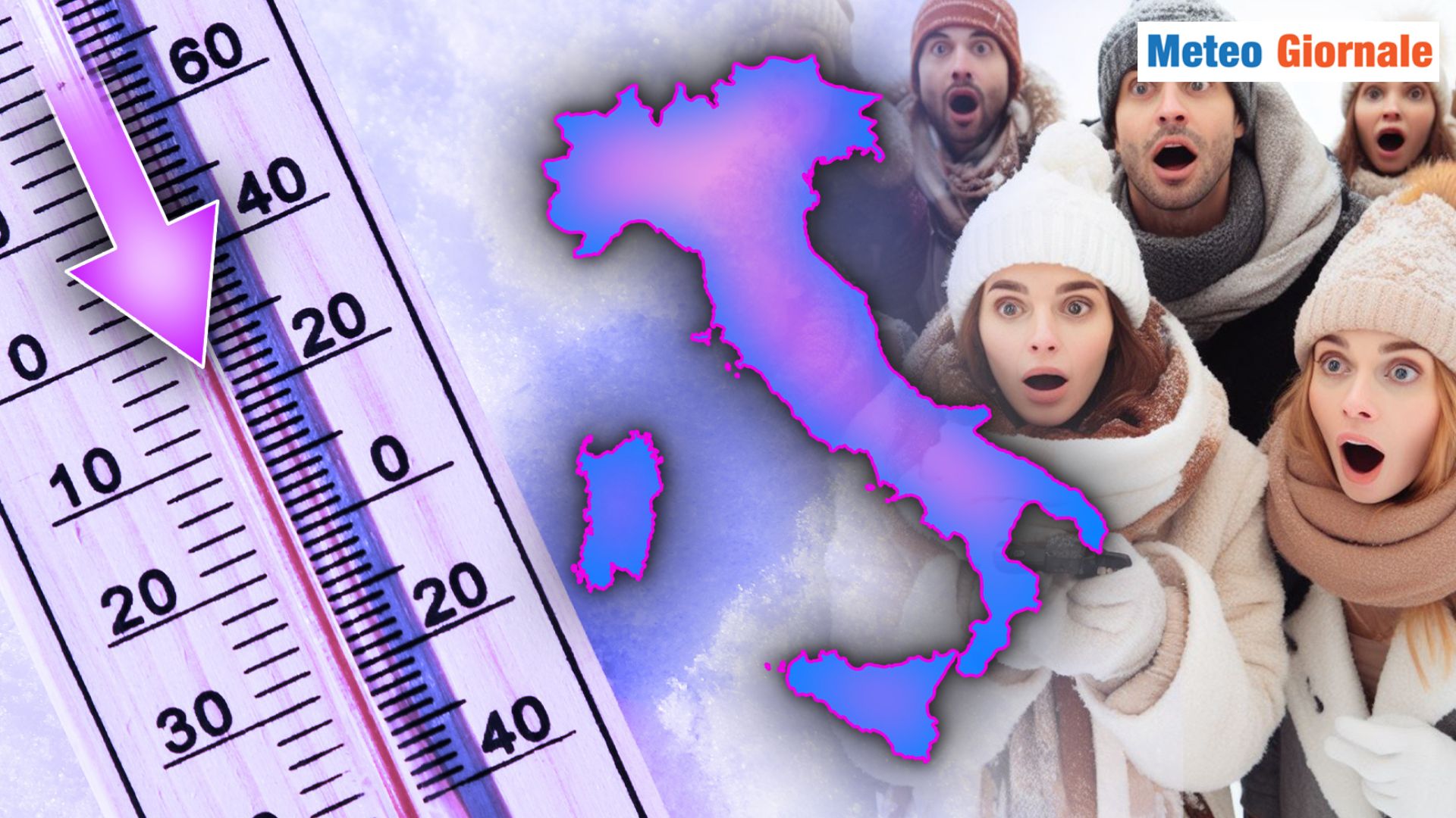
 The weather trend for the coming days in Italy suggests a profound change compared to the recent climatic stability, characterized by the influence of the Subtropical High Pressure.
Current projections outline the arrival of a mass of cold air from Northern Europe, ready to erode this high-pressure structure.
Although the trajectories of the winds and pressure dynamics are continuously varying depending on different model emissions, Italy appears to be one of the main targets of the cold, with a significant drop in temperatures and, in some cases, possible snowfalls at low altitudes. During the next week, Italy will likely face widespread deterioration, involving various regions from north to south.
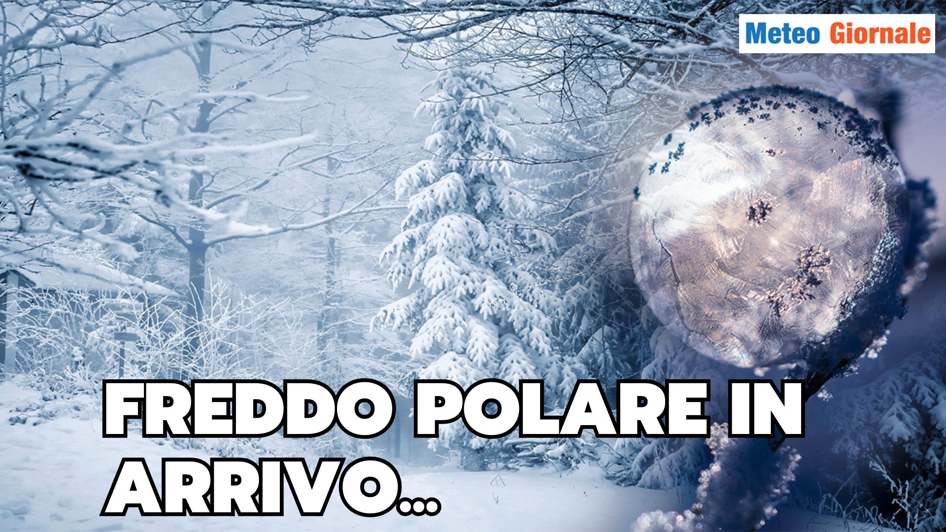
This descent of cold air could bring the first snowfalls even at relatively low altitudes: in the southwestern Piedmont, for example in the Cuneo area, the first flakes could be expected.
Considering that we are approaching mid-November, the incoming cold represents a rather natural event, especially in contrast to the particularly mild climate characterizing these days. The Main Islands will be the protagonists of another significant dynamic, due to the possible formation of a low-pressure vortex between Sardinia and Sicily.
In these areas, especially on the eastern coast of Sardinia and the southern and western parts of Sicily, intense bad weather episodes are expected, with the risk of local cloudbursts and heavy rainfall.
This situation represents only one aspect of the expected meteorological evolution, and the details could undergo adjustments in the projections of the coming days. Looking more broadly towards the end of November, around the 20th, forecasts begin to outline a possible oceanic anticyclonic block.
This phenomenon could generate a significant meridional exchange: warm air would move north, consequently pushing cold Arctic air south, crossing the central and western Mediterranean.
This dynamic could trigger one of the most intense cold incursions of recent autumn, bringing possible snowfalls even at hilly altitudes in various areas of Italy. No less relevant in this scenario is the situation of the Polar Vortex, which is facing moments of instability.
These difficulties often translate into significant atmospheric turbulence, favoring episodes of intense cold that also propagate to lower latitudes.

WEATHER for 15 days, everything overturned. Transition from Autumn to Winter
Our articles from Meteo Giornale are on Google News, follow us for free!


