 Observing the mathematical models, we must acknowledge the change in trend of the last few days.
The weather conditions, which were supposed to improve due to a convincing anticyclonic rise, risk not being able to provide the respite that many areas of Italy would need. Instability persists, still caused by the remnants of the previous Mediterranean cyclone and new humid infiltrations over the western seas. Infiltrations that suggest another North Atlantic depressionary assault, more oriented towards the Iberian Peninsula but which should be able to expand more decisively towards the east. This expansion will only support a worsening of the weather in various areas of the country, primarily in Sardinia, Tuscany, and northern regions starting from the west.
Precipitation should accelerate again during the last weekend of October and could locally be of strong intensity. Observing the higher resolution mathematical models, we can tell you that several regions could receive more downpours, resulting in really high rainfall accumulations. The situation should be better in the South and Sicily, where the anticyclonic ridge should be able to prevail, also supporting a significant rise in temperatures.
Mild and predominantly sunny weather, therefore, without excluding some stormy outbursts in the Apennines. It should be noted that there is still considerable uncertainty about the exact positioning of the large Iberian cyclonic vortex. Positioning that could undergo changes in progress and therefore also the extent and distribution of phenomena in our regions.
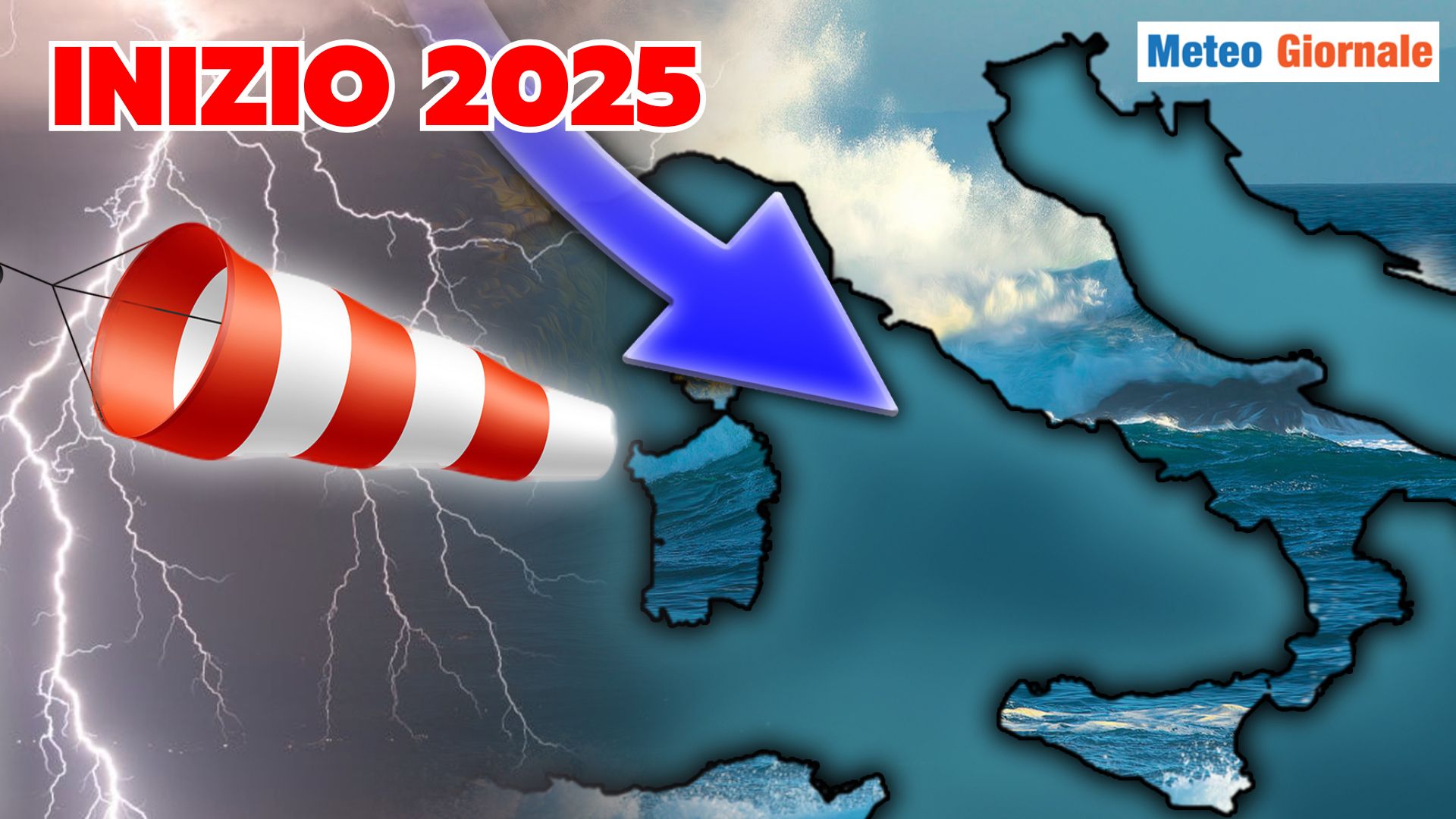
For this reason, we invite you not to miss any updates on the matter. a look at the weather trend at the beginning of November.
Some hypotheses continue to suggest the arrival of cold directly from the Arctic Circle.
A hypothesis that appeared days ago and to which we must necessarily give credit due to a decent evolutionary reliability that emerged from the analysis of specific climatic patterns.
Patterns that, indeed, tell us that in November we will start to feel the winter air.

WEATHER 15 days, further cyclonic complications. Cold start to November
Our articles from Meteo Giornale are on Google News, follow us for free!


