 POSSIBLE WEATHER EVOLUTION IN 15 DAYS The recent emissions of mathematical models indicate an imminent change.
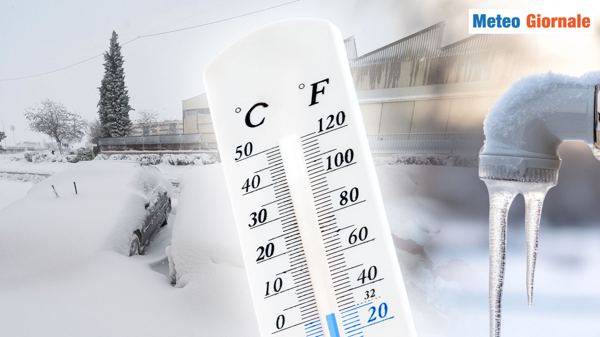
Temperatures will decrease across the national territory due to the intrusion of an oceanic air mass.
This thermal drop, considering the current values, will cause significant thermal contrasts, as has already occurred with the formation of storm clouds in the inland areas.
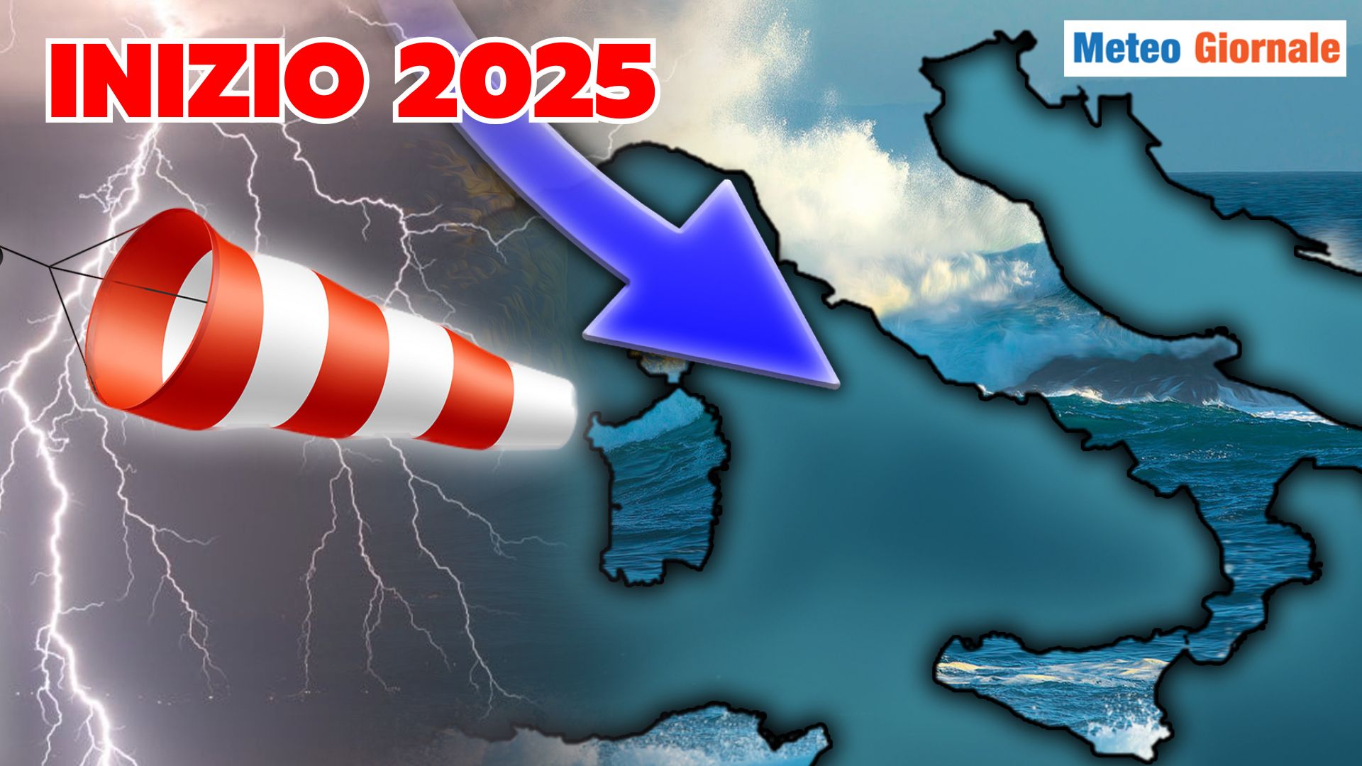
Thunderstorms will become more intense and widespread during the weekend, when the Atlantic air will penetrate with greater force.
After this phase, the return of the African Anticyclone is expected, bringing heat waves again. SHORT-TERM WEATHER In the coming days, particularly during the weekend, high-resolution mathematical models indicate the possibility of locally violent thunderstorms.
These could mainly affect the central-eastern Alps, the Triveneto, and Emilia Romagna, but some areas of the Northwest could also be involved.
The storm phenomena could extend towards the central Adriatic regions and the Apennines, with possible significant thunderstorms in Sardinia.
Given the convective nature of these events, local downpours and powerful hailstorms could occur. AFRICAN AUGUST For the last decade of August, models predict a new strengthening of the African Anticyclone, with a return of intense heat.
Temperatures will again exceed seasonal averages in all regions, with peaks close to 40°C in several Italian locations.
The subtropical hot air will increase humidity levels, making the heat muggy. IN CONCLUSION However, it is evident that the season is proceeding, soon with obstacles of some importance, towards progressive decay. We remind you that weather forecasts are more reliable up to 5 days, while their accuracy decreases with the increase of the forecast period.

WEATHER 15 days, abrupt end of SUMMER with STORMS
Our articles from Meteo Giornale are on Google News, follow us for free!


